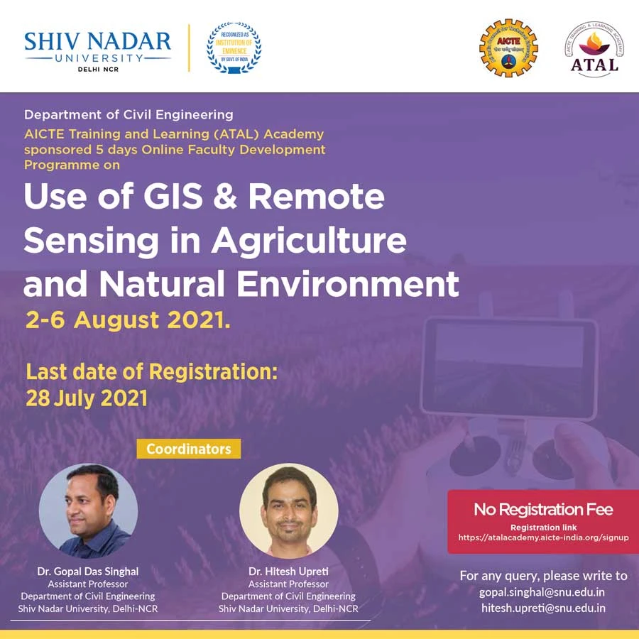
Department of Civil Engineering Organizing a Faculty Development Program (FDP) on “Use of GIS & Remote Sensing in Agriculture and Natural Environment”
The Department of Civil Engineering, School of Engineering is delighted to invite you to the 5-day Faculty Development Program (FDP) titled “Use of GIS & Remote Sensing in Agriculture and Natural Environment” from August 2-6, 2021. The FDP will be in online mode using MS Teams platform.
Eminent experts from IITs, NITs, central universities, government research institutes & agencies and faculty members from Shiv Nadar University will deliver 14 lectures and sessions during the FDP.
Overview and Objectives of the FDP
The FDP seeks to develop an understanding of the basics of GIS and remote sensing techniques and the applications of these powerful tools in agriculture and natural environments, in confronting environmental issues such as snow cover studies, floods & droughts, and other disasters. The objectives of the FDP are:
- To acquaint the participants with the basic concepts of remote sensing and GIS
- Understanding how remote sensing and GIS can be applied in agriculture and natural environments
- To familiarize the participants how the GIS software packages can be used to view and analyze the remote sensing and GIS data
Registration and Guidelines
Registration is open to faculty members and professionals from all the disciplines of engineering and science as well as post-doctoral researchers, research scholars and PG students. THERE IS NO REGISTRATION FEE FOR THE FDP. Interested participants can register for the FDP after signing up/ signing in the AICTE Training and Learning (ATAL) Academy portal using the link: https://atalacademy.aicte-india.org/signup
Participants will also receive certification for the FDP from AICTE after the completion of the FDP as per AICTE requirements.
Share this: